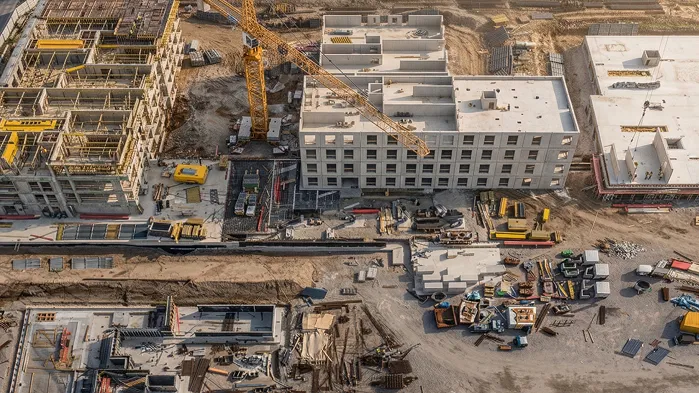
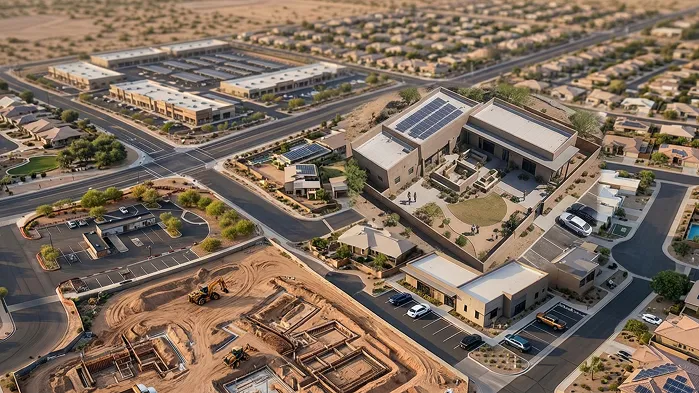
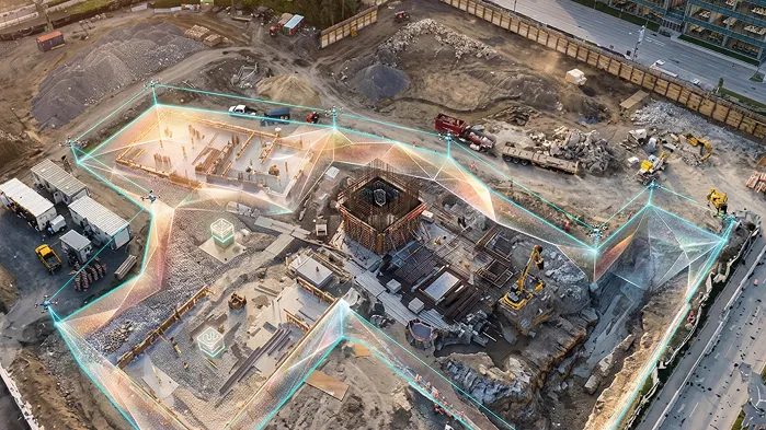
Comprehensive Site View
Capture full aerial views of the site to track progress and ensure layout precision.
Safe, Fast Data Capture
No risk associated with surveys with fast coverage of large areas in minutes.
Insightful Analytics
Automatic generation of maps, volumes, and high-resolution 2D/3D models.
Monitor Progress with Side-By-Side Comparisons
Compare daily drone images to see progress and general efficiency.
Site Views
That Deliver Success
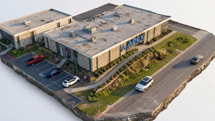
Facade & Roof Inspections
Oblique aerial views to identify any flaws, perform safety tests, and record handover points.
Thermal Intelligence
Use heat mapping to identify moisture, electrical, and roof issues.
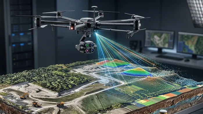
LiDAR Surveys
Precise topographic surveying for site elevations and 3D models.
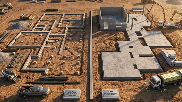
Site Progress Monitoring
Track progress by comparing drone images taken at different times.
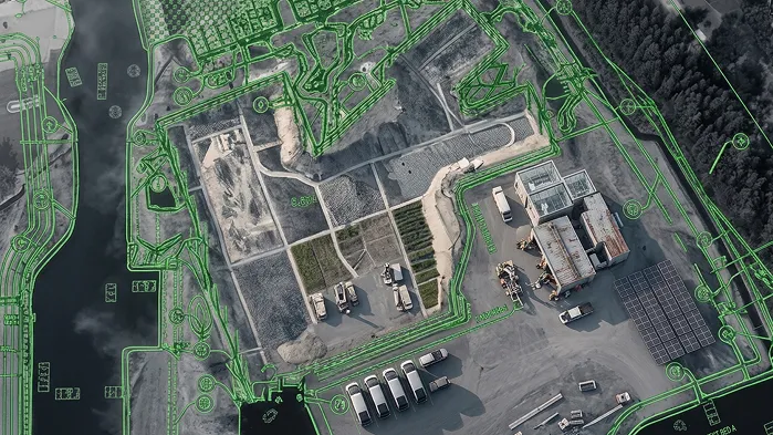
Layout Verification
Align maps from the air with the site plan to ensure correct execution
Collaborative Maps
Notes, assignments, and comments on the map directly
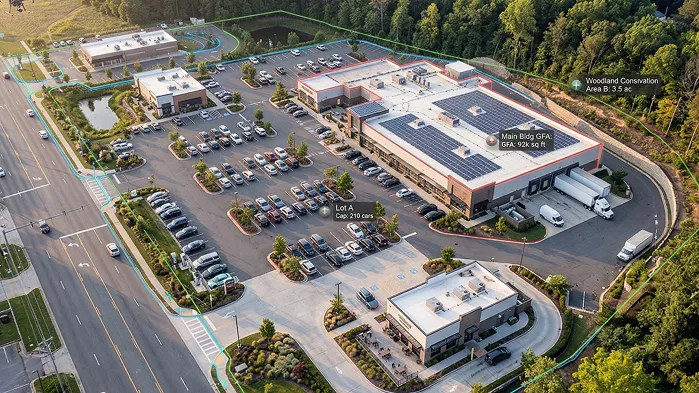
Maps With High Resolution (RGB)
Detailed stitched photos of site for comprehensive views and analysis.
3D Modeling
Modeling and point cloud for verifying as-builts and checking.
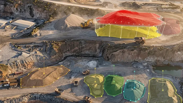
Volume Measurements
Exact cut-and-fill measurements with exportable reports.